


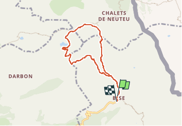

9,2 km | 22 km-effort

Usuario


Aplicación GPS de excursión GRATIS
 SityTrail
IGN / Institutos geográficos
SityTrail World
El mundo es suyo
Ruta Senderismo de 8 km a descubrir en Auvergne-Rhône-Alpes, Alta Saboya, La Chapelle-d'Abondance. Esta ruta ha sido propuesta por Glaf21.
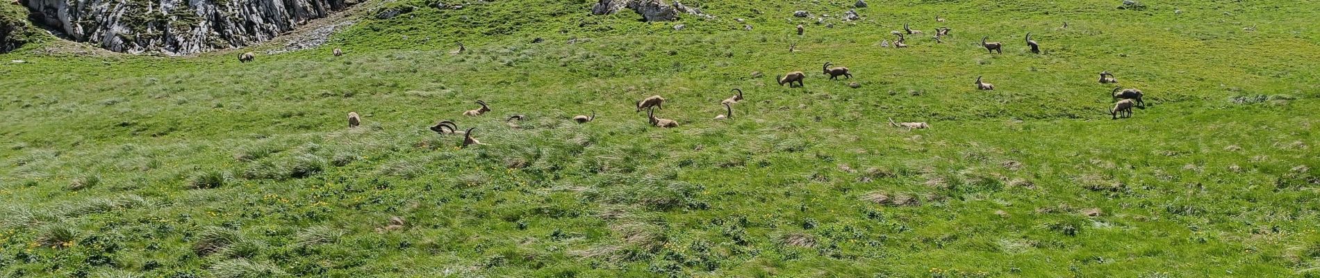
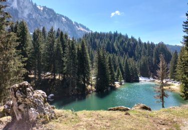
Très belle balade sans difficulté au milieu des bouquetins. Pour ceux qui ne craignent pas le vide, il faut ajouter la boucle par la dent du Velan et le col d'Ugeon.


Senderismo

Senderismo

Senderismo

Senderismo
Senderismo

Senderismo

Senderismo

Senderismo
Senderismo